Talk to us
Have questions? Reach out to us directly.
Bay Farm Island Flood Protection and Coastal Resilience Project
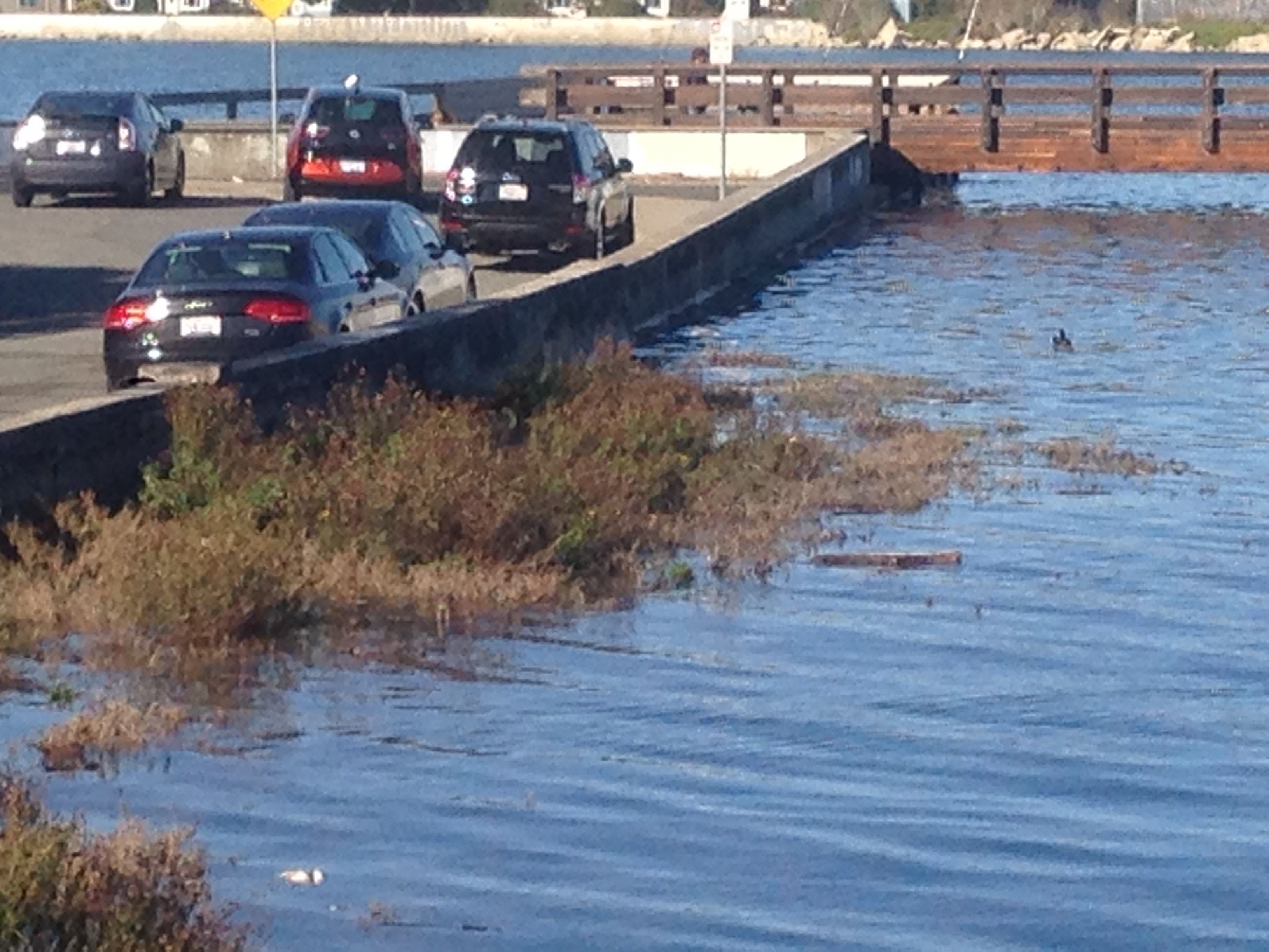
View allThe current Federal Emergency Management Agency (FEMA) flood maps issued in December 2018 show Veterans Court area as one of several entry points for coastal flooding at the 100-year flood event on Bay Farm Island. The City’s Climate Action and Resiliency Plan (2019) includes adaptation projects for Veterans Court(PDF, 631KB) and Lagoon 1 Outfall(PDF, 506KB) as a first step in the process to work in conjunction with the Doolittle Drive project to protect the airport, golf course, adjacent residential neighborhoods, commercial properties and roadways.
In 2022, the City received $1.5 million in funding from the Congressional Community Program under the Department of Homeland Security Appropriations Act 2022 through Representative Barbara Lee’s office, with a $500,000 match from the City’s General Fund included in the Fiscal Year (FY) 2022-23 budget.
The project will develop 100% designs for the Veterans Court seawall and Lagoon System 1 outfall and develop a long-term adaptation strategy for the Bay Farm Island shoreline with the long-term goal of removing Bay Farm Island from the FEMA floodplain map. The project also seeks to mitigate the impacts of sea level and groundwater rise and consider liquefaction risk, maintain connectivity to/from Bay Farm Island, maintain and adapt existing public recreation space and the Bay Trail, including the wooden bicycle/pedestrian bridge, implement nature-based solutions, such as submerged aquatic vegetation, horizontal levees, and living seawalls; and provide co-benefits such as enhancing wildlife habitat, attenuating wave energy, accumulating sediment, reducing erosion, sequestering carbon, and buffering ocean acidification.
Image Gallery

Talk to us
Have questions? Reach out to us directly.

